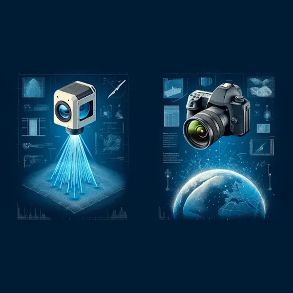
Tag: LiDAR and Photogrammetry
LiDAR vs. Photogrammetry: Choosing the Right Aerial Survey Tech for Your Project
Choosing between LiDAR and photogrammetry for land surveying needs can often be a perplexing decision for many professionals across various industries. Choosing the wrong aerial survey method can result in costly delays, inaccurate data, or even project failure. With both methods offering distinct advantages and limitations, the dilemma arises in determining which technology best suits specific applications. Aerial surveying, a critical process in fields like mapping, forestry, urban planning, and environmental science, relies on capturing precise data about the earth's surface from an aerial perspective. Two primary technologies dominate this domain: Light Detection and Ranging (LiDAR) and photogrammetry. Each method possesses unique strengths and limitations, making them more suitable for certain applications over others.
