Tag: LiDAR and GPS
Land SurveyingLiDAR and GPS
Modern LiDAR and GPS Usage in Land Surveying
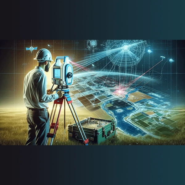
The art of land surveying has evolved dramatically over the centuries. Ancient methods, reliant on basic tools and human observation, have given way to an era of precision and technological sophistication, marked by the advent of Light Detection and Ranging (LiDAR) and Global Positioning Systems (GPS). This article explores the transformative impact of these modern technologies on land surveying, providing a comparative insight with ancient methodologies and presenting the latest statistical data to underscore their advantages and growing adoption in the field.
