Tag: Drone Photogrammetry
Drone PhotogrammetryLiDAR Data Processing
A Comprehensive Look at Drone Photogrammetry – Capturing Clarity
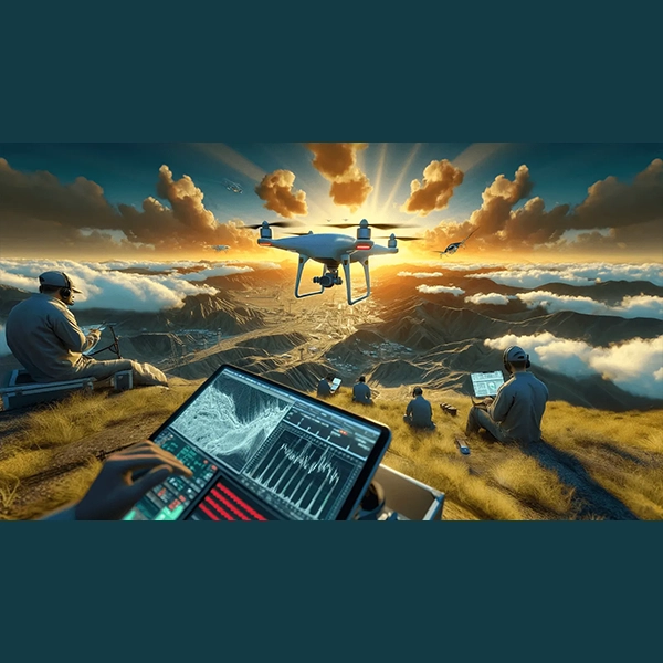
In the quickly developing field of aerial surveying, Drone Photogrammetry, which combines measurement science with the state-of-the-art capabilities of Unmanned Aerial Vehicles (UAVs), is a game-changer. From the fundamental ideas behind drone photogrammetry to its wide range of applications, this in-depth guide explores all the practical aspects. Whether you're a seasoned professional or a curious newcomer, this comprehensive guide will help you understand the advantages and disadvantages, explore practical applications, and master the unique terminology of drone photogrammetry.
