Renowned Standing
Due to skills we hold, both large and small roll-out firms want to benefit from our knowledge and expertise.
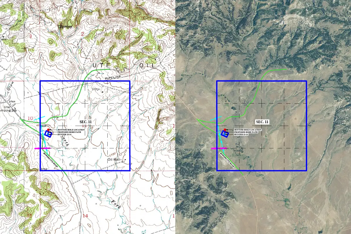
Comprehensive GIS mapping services to visualize and manage geographic data with precision.
At Gsource, we offer thorough Geographic Information System (GIS) Mapping services to help you manage and analyze spatial data with precision. Our advanced technologies, including LiDAR scanning, photogrammetry & AI-based processing, enable us to create highly accurate 2D and 3D models of any area. Whether you need detailed CAD drawings, digital surface models or 3D mesh models, we provide the solutions to meet your project’s needs.
Our GIS mapping services are invaluable for engineering firms requiring cadastral mapping, logistics planning, transportation management & warehouse optimization. By leveraging our expertise, you can streamline operations, improve planning & make informed decisions with reliable geographic data. Let Gsource guide you in utilizing GIS mapping to enhance your projects and operations.


GIS mapping can become a difficult task at times and also requires detailed and expert advice. Outsourcing these services can benefit you in certain ways
Here, at Gsource, we have skilled professionals and experts who provide our clients with precise and accurate designs,3D models & maps for GIS-mapped data. We have advanced tools for mapping and other purposes to get you apt results that also comply with codes and regulations.
Real Estate Development
Infrastructure projects such as roads, bridges & buildings.
Wetland delineation, floodplain mapping & conservation projects.
Power lines, pipelines & water supply networks.
Municipal planning, public works & transportation departments.
Your Project is Ready in 4 Easy Steps
Due to skills we hold, both large and small roll-out firms want to benefit from our knowledge and expertise.
We use high-tech solutions to understand design and construction requirements for GIS Mapping Services.
We have an R&D team that can handle vast data collection, which can feel like a task for other companies.
Timely actions and efficient outputs minimize delays, maximize productivity & ensure prompt GIS mapping services for our clients.
The data used by us for creating topographic maps, volume calculation & distance measurements provides results to the point.
The experience that our team holds is what sets us apart. With training programs, our team of 300 members can deliver top-tier results laid over a 30,000-square-foot Class A Office space.
We are active members of national and international surveying, architectural, engineering & geospatial organizations.
As a service provider, we’ve supported and served companies across the US. Our dedication produces excellent quality that propels industry success.
Our GIS mapping services package includes data integration, spatial analysis, map creation & custom GIS solutions for various applications.
To start a GIS mapping project, schedule a consultation with us to discuss your project requirements & we’ll develop a detailed plan and timeline.
Yes, our digital GIS mapping services provide outputs in formats compatible with your existing GIS systems for seamless integration and use.
Yes, we provide GIS mapping services for both small & large-scale projects, ensuring accurate & detailed spatial analysis for any project size.
To start a GIS mapping project, schedule a consultation with us to discuss your project requirements & we’ll develop a detailed plan and timeline.
(Enter captcha image text in box)
At Gsource Technologies, we’re ready to help! Tell us what you need, and we’ll connect you with the right experts.