Blog
Get to Know Everything About Neom Meta City: Saudi Arabia’s Futuristic City Like No Other
NEOM is Saudi Arabia's most ambitious urban development project—an entirely new city designed to redefine the future of urban living. Spearheaded by Crown Prince Mohammed bin Salman, this $500 billion megacity is being built as a hub of technological innovation, sustainability, and cutting-edge infrastructure.
A Complete Guide to As-built Drawings
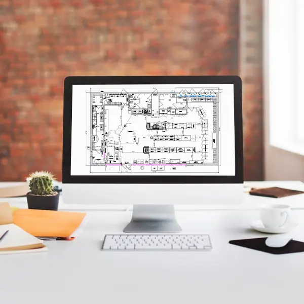
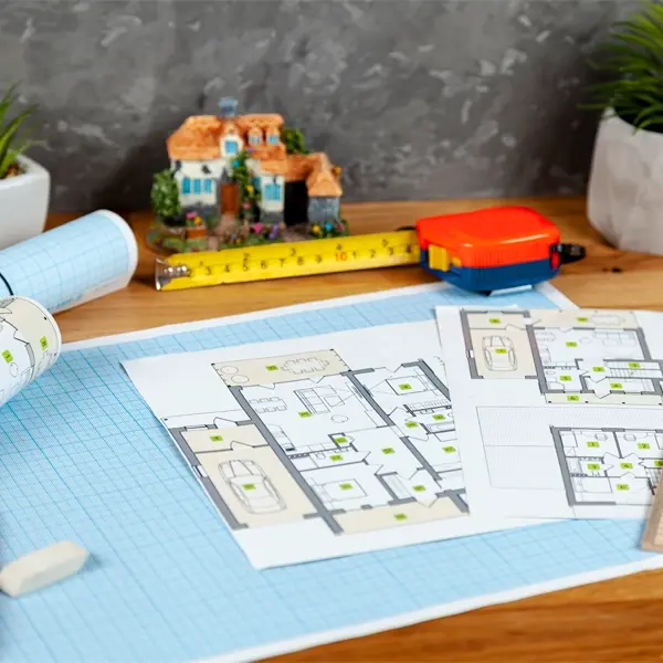
The design and construction of buildings are not linear processes. The initial design and what is delivered goes through countless iterations before you see the design come to life. How do you think the contractors, architects, and designers keep up with the changes done during the construction process?
7 Design Expert Strategies for Snow Load, Ice Protection & Winter Storms
The United States experiences some of the harshest winter conditions globally, with heavy snowfalls, ice storms & frigid temperatures wreaking havoc on structures annually. Over the past 40 years, winter storms have caused 30 billion-dollar disasters, totaling over $120 billion in damages. This underscores the economic burden that severe winter weather places on communities. These extreme conditions highlight the importance of incorporating winter design strategies, snow load considerations & ice protection measures to safeguard buildings. From damaged roofs to compromised foundations, winter weather challenges demand resilient design solutions to ensure safety and durability.
Designing for Fire Safety: Strategies for Homes and Gardens
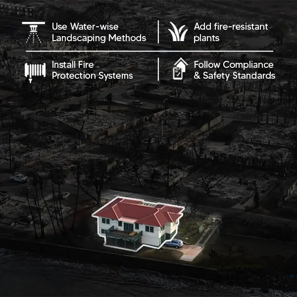
In the face of growing concerns about climate change and wildfire threats, integrating fire safety into architectural and landscape design has become necessary. From fire-resistant building materials to landscaping techniques, the principles of 'firescaping' empower homeowners and architects to create safer, more resilient environments.
What are Electrical Shop Drawings and How to Read Them?
Did you know that understanding an electrical shop drawing can prevent costly errors during construction projects? These essential documents serve as detailed guides for electricians, contractors & engineers, ensuring smooth and accurate installations. But what exactly are electrical shop drawings & how can you learn to interpret them correctly? Electrical shop drawings are critical in ensuring accuracy during installation, as they are derived from detailed electrical design services provided by different engineering firms. This guide will explain everything you need to know.
Best 3 Electrical Design Software 2025
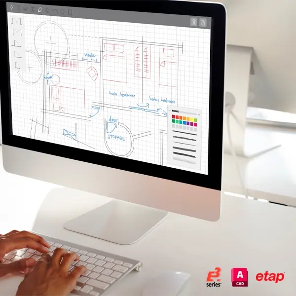
In today’s fast-paced world, engineers and designers rely heavily on advanced tools to create accurate and precise electrical systems. With increasing project complexity, selecting the right Electrical Design Software is essential for precision and productivity. These tools help assemble tasks such as electrical drafting, wiring diagrams & component modeling, making them essential for engineers. Wondering which software is best suited for your electrical designs? Keep reading as we review the best electrical design software of 2025.
Benefits Of MEPF Drawings In Construction Process
When developing a new building, whether a corporate structure or residential apartment, ensuring comfort and functionality for occupants is a top priority for architects and contractors alike. A successful architectural design goes beyond aesthetics, incorporating architectural details that blend seamlessly the structural and functional requirements of the space.
MEPF Drawings: Meaning, Types and Importance
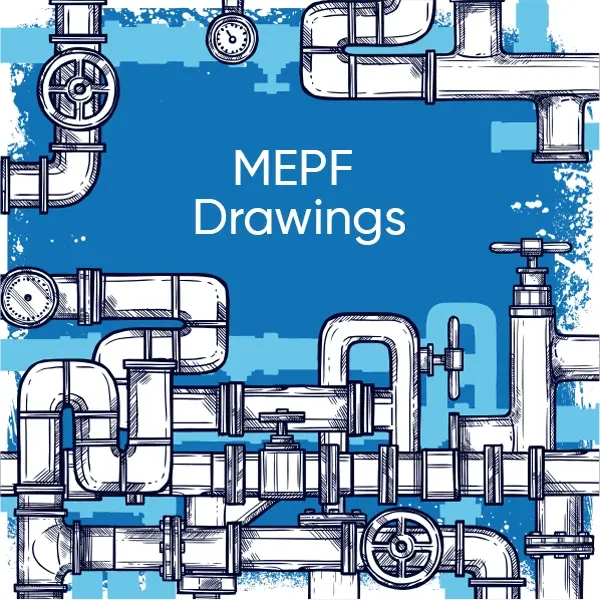
Did you know that over 30% of construction delays are caused by poor coordination between systems? This is why MEPF drawings play an important role. These detailed plans bring clarity to complex projects, showing contractors, architects & engineers
How to Create the Perfect Electrical Lighting Blueprint?
When planning the electrical design of your home, before the fixtures are installed, looking at the placement of the lightning components is a crucial step to turn it into a haven. While you might think you can leave it to your architect, by consulting with an electrical drafting service, you can get a lightning plan that matches your unique preferences.
Global Steel Structural Standards and Best Practices 2025
Structural Steel is the backbone of modern infrastructure, from skyscrapers to bridges, ensuring strength, safety & sustainability. But did you know that steel structural standards vary across the globe? In this blog, we will explore the different Global Steel Structural Standards and discuss the best practices in Steel Detailing for 2025. We will also know the key differences in these standards and their importance for the future construction industry.
Tekla Steel Detailing Essentials – A Guide for Designers
Are you a structural steel designer looking to construct your projects with accuracy and efficiency? Meet Tekla Steel Detailing Designer, a game-changer in steel detailing. This guide looks deep into what makes Tekla Structures the go-to tool for Steel Detailing professionals. From its key features to benefits and common challenges, we will cover it all in this blog to help you make the most of this innovative software.
(Enter captcha image text in box)
